
Watertown ZIP Code Coverage
Watertown has a three-code postal history rather than a simple one-code map. Current everyday delivery addresses generally use 02472. USPS labeling material also places 02471 and 02472 in a Watertown handling stream, while 02477 is an older code whose handling changed in late 2024. These labels help check mail and records, but the exact address controls. Postal wording does not replace the City parcel map when the question is whether a location lies inside Watertown.
| ZIP | Areas Covered | Post Office | Notes |
|---|---|---|---|
| 02472 | Current standard Watertown delivery addresses | Watertown preferred city designation | Principal current residential and city ZIP; confirm each full address with USPS |
| 02471 | Watertown postal designation and handling stream | FAST L007 lists Watertown, MA 02471 for the 02471-02472 stream | Verify whether a specific address is delivery, PO-box, or administrative use |
| 02477 | Historical Watertown postal labeling | Former Watertown destination group | Postal Bulletin effective December 1, 2024 moved its handling into the 02471 stream |
Neither a PO-box-only ZIP nor a unique ZIP for one institution was verified for Watertown in the research. Do not assign either role to 02471 or 02477 without an address-specific USPS result.
Check Watertown ZIP Codes With USPS
USPS ZIP Lookup offers three routes: a full street address with city and state, a city and state search, and a ZIP-to-city search. The by-address route is the best first check because it tests the actual delivery address rather than a broad city label. Keep the returned ZIP and preferred city with the address used in the later property or City record search.
A ZIP match is a postal result, not proof of a city boundary. If a street name, cemetery address, or older directory entry seems to place a Watertown location elsewhere, retain the source wording and check the parcel in the City map. ZIP checking is most useful as a verification layer before a person or property query, not as a ZIP-wide resident list.
Watertown ZIP Code Search Fields
Several official tools use ZIP information, but none turns a ZIP into a complete resident roll. USPS verifies a delivery label. Vision uses owner, property-address, and parcel information. The state voter form requires the individual voter's residential ZIP as one of several identity fields. A City Clerk request remains the local route for a defined public voter or street-list question.
| Official tool | ZIP-capable field or route | What it can establish |
|---|---|---|
| USPS ZIP Lookup | Full street, city, state; city/state; or ZIP-to-city | Current postal ZIP and city label for the queried address |
| Watertown Vision | Property/street address, owner/name, or parcel/map-lot | Assessed owner, situs, mailing address, values, and parcel context |
| My Voter Registration Status | Five-digit residential ZIP with first name, last name, DOB, and agreement | The individual's registration-status information, not a public bulk list |
| Watertown City Clerk request | Written description, relevant date or precinct, and preferred format | Releasable local street-list or voter-record fields, subject to exclusions |
Vision can identify an assessed owner, but not everyone who may live at the situs. MapGeo is an address, parcel, and map viewer rather than a ZIP-wide people tool. The distinction matters when a mailing ZIP differs from a physical parcel or when a directory uses an older postal label.
Verify a Watertown ZIP Code by Record
A ZIP-based resident question needs a short, ordered check. Confirm the current postal label first, then move only to the official record that fits the question. A property search can support an ownership question. A local voter request can concern releasable registered-voter fields. Neither source proves every household member.
- Enter the complete address in USPS ZIP Lookup and record the current returned ZIP and preferred city.
- Open MapGeo to confirm the parcel, city geography, and relevant precinct or map layer.
- Use Vision or the FY2026 parcel inventory to check the assessed parcel, owner, situs, and tax mailing address. The inventory reflects December 2025 ownership and assessment data.
- For a defined local list question, ask the City Clerk for the street, precinct, date, and requested format. Do not use the state voter-status form as a bulk lookup.
- For historical mail or directories, transcribe the original ZIP, then reconcile it with a current USPS check without silently replacing the old code.
Once a ZIP has narrowed the area to a named street, use the Watertown streets reference for the documented street and parcel methods.
Map a Watertown ZIP Code to Parcels
Watertown MapsOnline / MapGeo provides tax parcels, zoning, aerial imagery, roads, buildings, water and sewer layers, and city-map context. Search an address or parcel, then use the parcel polygon and its available links to understand the physical location. The City also links a public ArcGIS organization as a second map channel.
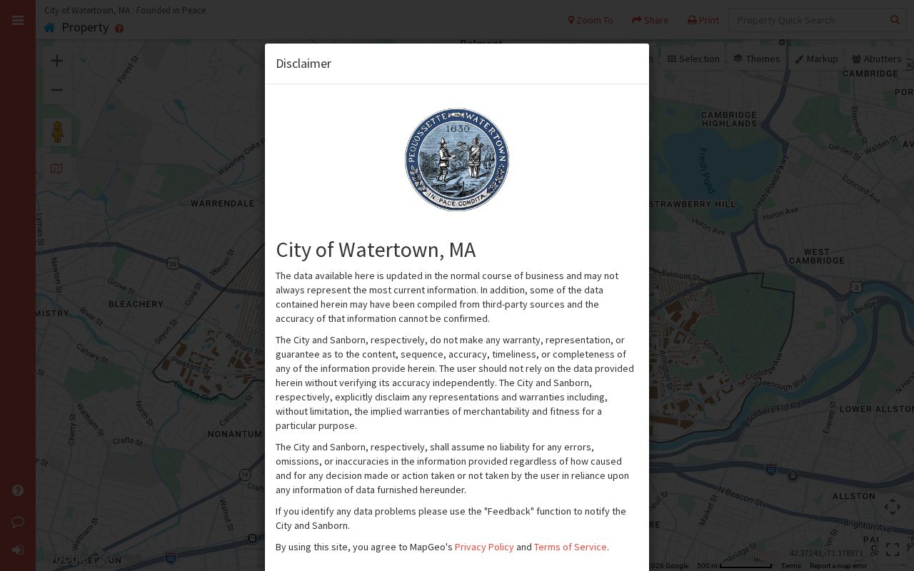
MapGeo can show a parcel in relation to surrounding streets and boundaries, but it is not a legal survey or title document. The City GIS overview describes the linked mapping resources. For title boundaries, rely on the deed, plan, and legal description. A parcel view is especially helpful where the Charles River, an irregular boundary, or a postal label makes a simple city-name assumption unreliable.
Watertown ZIP Codes Are Not City Limits
ZIP codes are delivery geographies, while city limits are legal municipal geography. Census ZIP Code Tabulation Areas are also statistical polygons based on census blocks, not USPS delivery boundaries. Use USPS for the present delivery label, City GIS for municipal and parcel context, and Census ZCTAs only for broader statistical context. A Watertown label on mail is not, by itself, evidence that a parcel is inside Watertown.
Boundary check. A street address, city name, ZIP, parcel, and legal description can all describe the same place differently. Preserve each value and compare it with the office that maintains it.
- ZIP and ZIP+4
- A ZIP identifies a postal delivery area. ZIP+4 adds a more precise delivery segment, such as a block, building, or high-volume recipient.
- PO-box ZIP
- A ZIP used for post-office boxes rather than general street delivery. No such Watertown role was verified for the codes above.
- Unique ZIP
- A ZIP assigned to one high-volume organization or institution. The research did not verify one for Watertown.
- Carrier route
- A postal delivery route grouping used for mail operations. It does not establish a city boundary or a resident roster.
02477 Changed the Watertown ZIP Code Story
The December 2024 Postal Bulletin changed 02477 handling into the 02471 stream, a useful Watertown postal quirk for older records. Historical directories, correspondence, and notes may retain 02477. That older code should be transcribed as it appears, then paired with a current USPS result if the address must be used now. Replacing it with 02472 or 02471 without a notation can obscure the source record's date and context.
USPS's August 2025 FAST labeling list describes the current 02471-02472 Watertown stream. The change does not redraw a parcel, change a deed's legal description, or decide which city office holds the record. It changes how the postal label should be checked.
Watertown ZIP Code Address Keys
Keep three address values separate when a ZIP search produces a near match. The situs is the physical parcel. The mailing address is where assessment contact goes. The legal description identifies the title boundary through a lot, plan, or deed reference. Vision is keyed to owner, address, and parcel information; MapGeo uses address and geography; recorded deeds use parties, book and page, plans, and legal descriptions.
The Watertown Vision property search is the clearest way to see why those fields cannot be merged. Its public record can include assessed owner, mailing and situs address, parcel/map-lot, values, land-use information, sale or deed reference, exemptions, and structure details where published.
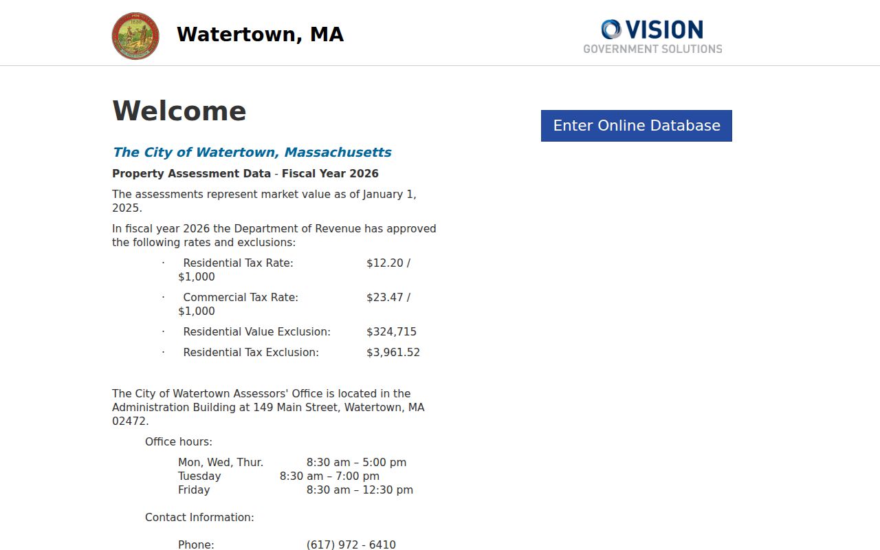
The assessment result supports an ownership or tax-record question, not an assertion that every person associated with a postal address lives at the parcel. A City permit search, deed, or City Clerk list must be evaluated under its own records and access rules.
Historic Watertown ZIP Code Mismatches
Local geography makes address verification important. Catholic Mount Auburn has a Cambridge street address even though the Historical Society's research says 93 percent of its area lies in Watertown. A search should preserve the cemetery name, printed street address, physical city, and legal parcel separately. The postal or street label alone cannot settle where a historical record belongs.
When a current portal has no result, use the City Clerk or Watertown Records Access Officers for a narrow written request under Massachusetts Public Records Law, M.G.L. c. 66, § 10. For title confirmation, the Middlesex County recorded-land route is the Middlesex South Registry of Deeds. For older material, the Watertown Library's local-history collections, historic maps, directories, and the State Archives can be the next channels. Public utility customer data and RMV address data are not general ZIP-based resident sources.
Note: No official Watertown-wide street renumbering schedule was found, so match older addresses through parcel geometry, deeds, historic maps, and directory context.