
Walk a Watertown Street by Address
Watertown has no single public list that proves every occupant along a road. Its best address trail begins with the assessed parcel, then joins the map, municipal address records, land index, local voter records, and older street sections in directories. Each source has a different scope. The assessor identifies the assessed owner, while MapGeo places the parcel among adjoining lots. A recorded deed can establish a land transaction, but it does not by itself show that a seller lived there. Local voter and annual street-list records are held through the City Clerk and have protected fields.
- Use Watertown's Vision property search with an address, owner name, or parcel identifier. Record the situs, assessed owner, mailing address, and parcel reference separately.
- Open the same location in MapGeo. Click the parcel and pan to adjoining polygons so the street segment is clear.
- Search the City's permit and code records by address, date range, and information type. Treat the online list as incomplete.
- Use MassLandRecords with the Watertown town filter, property or party search, and the deed's legal description to trace title.
- For a lawful local voter or street-list question, make a scoped written request to the Watertown City Clerk. For historical households, consult the library's street sections and resident lists.
Note: A street search works best when every result is dated and recorded as owner, voter, permit party, or historical directory entry.
Watertown Street Directory Search Fields
The Assessing Division links the public Vision database and a FY2026 parcel inventory. The spreadsheet reflects ownership and assessment information as of December 2025, so it is a useful snapshot rather than a live resident roll. Vision can be searched by owner name, property or street address, and parcel or property identifier. The parcel identifier is especially useful where a street number changed, a condominium has several units, or a deed uses a legal description instead of a modern address.
| Field or control | Type | Required | Watertown use |
|---|---|---|---|
| Owner or name | Text | Portal-dependent | Find parcels tied to an assessed owner; try surname variants. |
| Property or street address | Portal search field | Portal-dependent | Find the situs address shown on the assessment record. |
| Parcel or map-lot | Text | No | Bridge an assessment card to a deed or legal description. |
| Result card | Output | Not applicable | May show owner, mailing and situs addresses, values, land use, sale, exemption, and structure data. |
A Watertown assessment result is assessment evidence. It may show a residential exemption, but that is only an owner-occupancy signal. It does not prove that every household member owns or lives at the parcel.
On the Vision assessment search, the pictured interface is a useful reminder to start with the actual address or parcel rather than a broad name assumption.
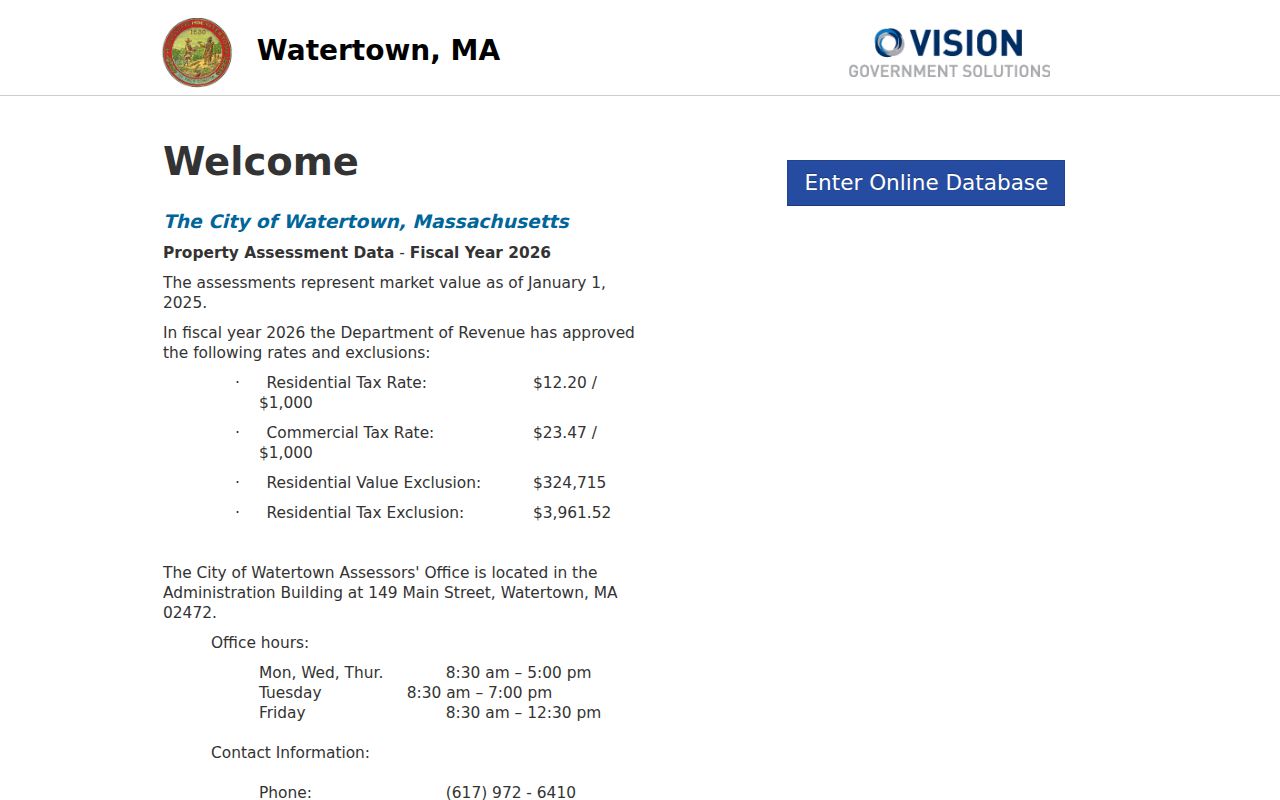
The assessor search is the first handoff in a Watertown street directory trail, not a substitute for a verified resident list.
MapGeo Layers for Watertown Streets
MapGeo lets a reader search an address or parcel, click a polygon, and use pan and zoom to inspect the nearby street segment. The City identifies tax parcels, zoning, aerial photography, roads, buildings, water, and sewer among the available layers. Its public ArcGIS organization is another map channel. MapGeo can create custom maps and download or print PDFs, which helps preserve the parcel geometry used in a search.
Map lines are not title boundaries. The City says its GIS is not a legal document or survey instrument and carries no warranty. When a shared edge, easement, river corridor, or condominium boundary matters, compare the map to a deed, plan, or legal description.
The MapGeo parcel viewer shows why map context matters before treating two close addresses as the same street segment.
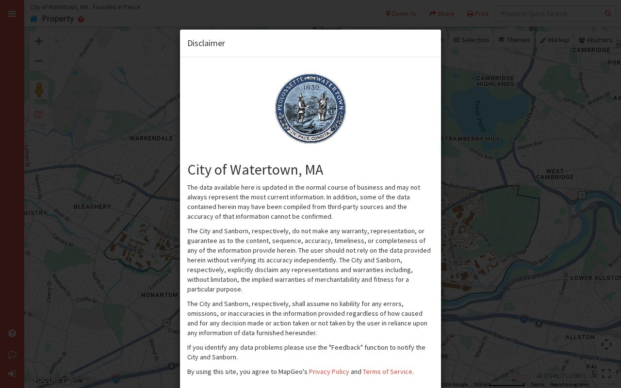
Use the displayed parcel polygon to guide the next Vision or deed search, while reserving legal-boundary decisions for the recorded documents.
Watertown Street Directory Record Coverage
Street records gain value when they are compared rather than merged into one claim. The table separates the city and Middlesex custodians, what an address-keyed result can show, and the next access route when an online result is missing. The City Clerk's annual census and local voter material are different records with different release rules.
| Address record | Custodian | What it can show | Access route |
|---|---|---|---|
| Vision assessment record | Watertown Assessing | Assessed owner, situs, tax mailing address, values, exemptions, parcel data | Free web search, FY2026 inventory, office, or request |
| MapGeo parcel map | Watertown GIS | Parcel boundaries, map layers, roads, and adjacent parcels | Free viewer with GIS disclaimer |
| Recorded deeds and plans | Middlesex South Registry of Deeds | Parties, dates, book or document placement, legal description, and images | Free portal; Cambridge counter; certified copies |
| Permits and code records | Watertown municipal offices | Address work history, status, public applicant or owner fields, and documents | ViewPoint or MapGeo; public-record request for gaps |
| Local voter and street-list records | Watertown City Clerk | Releasable voter or local-list fields at a legal address | Scoped written local request; protected fields withheld |
| Historical directories | Watertown Free Public Library and area collections | Past address, business, or household context in selected years | Library collection, scans, or staff assistance |
Watertown Street Address Permits
Watertown's ViewPoint path covers building, zoning, planning, health, and related permit records. The documented search options include date, date range, address, and information type. Opening a Record ID can reveal more detail and attached documents. A public result may identify a record ID, address, permit type, filing, issue or status date, and public applicant or owner fields.
The City warns that the online display may omit permits or applications and may show records at different approval stages. That makes a permit a useful date and address lead, not a complete household source. For a defined missing period, request the record with an address and date range through the City's public-record process.
Note: Permit evidence can date work at a Watertown address, but it should not be read as a complete list of people who lived there.
Trace Watertown Street Directory Deeds
The Middlesex South Registry of Deeds portal supports recorded-land name, document, book, property, recorded-date, and unindexed property searches. It also has registered-land and plan modes. A strong Watertown street directory workflow starts with the Vision parcel and then searches the property or the owner name with Towns set to Watertown. The deed's legal description, book and page, or document number is often more reliable than an older street address.
Open the latest deed and record the grantor, grantee, recording date, deed type, consideration, legal description, and prior-instrument reference. Then locate the prior transaction through the earlier party roles and legal description. If a regular search fails, use the Unindexed Property Search for Books 1-1024, plan search, the Cambridge research counter, or map and archive collections. Registry viewing, printing, and downloads were free at the time of research; certified copies cost $1 per page, and registered-land certificate copies cost $5.
- Parcel
- An assessor's mapped unit of land, used to connect a situs address to assessment information.
- Situs address
- The physical location of the Watertown parcel, distinct from where a tax bill is mailed.
- Legal description
- The deed's lot, plan, boundary, or other title description that identifies the land.
- Criss-cross directory
- An address-first directory format that can connect a street entry to a historical occupant when a verified volume exists.
Watertown Street Directory Voter Records
Massachusetts My Voter Registration Status is for an individual checking personal registration. It requires first name, last name, date of birth, residential ZIP, and an agreement statement. It does not provide a public street-wide or statewide name search. For a Watertown street question, the documented route is a written request to the City Clerk for a local record defined by street, precinct, date, and preferred format.
For the individual using the state status tool, a match can return the registered name and address, date of birth, party enrollment, voting status, polling place, ward or precinct, districts, representatives, and local election-official contact. Recent registration can take two to three weeks to appear. That response is personal-status information, not a verified street directory entry.
Public local voter fields can include name, address, party enrollment, date of birth, status, and voter ID, subject to law. Phone and email, veteran and permanent-absentee information, confidential-voter records, and minor or pre-registration data are withheld. The annual census is mailed in January and February and helps maintain local lists, but it is not a real-time occupancy database. A missing name is not proof that a person left Watertown.
Watertown Streets Need Three Addresses
A property result can present three separate identifiers. The situs is the physical parcel. The mailing address is where the assessment or tax contact is sent. The legal description is the title identifier in a deed or plan. Conflating them is the most common street-directory error. A mailing address may be outside Watertown or belong to a bank, trust, manager, or owner contact. It is not proof that a person occupies the parcel.
Records also differ from people. Vision gives assessed ownership. MapGeo gives geometry. A local voter record, when releasable, concerns registration. A directory reports what its publisher printed for that year. Comparing the field and date across those sources is more reliable than choosing one result as a full street roster.
Watertown Street Directory Map History
Watertown's 2017 street-index map, historic map collections, parcel geometry, and deed descriptions help reconcile old addresses. The City has not published a verified citywide renumbering year, so a matching street name alone does not establish continuity. This matters in a compact city with river, industrial, trolley, and neighborhood patterns. Main Street, Mount Auburn, Arsenal, Pleasant, North Beacon, Watertown, and California streets cross historic civic or industrial corridors.
For a place-name mismatch, use the map and legal parcel rather than postal wording alone. Catholic Mount Auburn has a Cambridge street address, yet the Historical Society's research says 93% of its area lies in Watertown. That unusual split is a useful reminder that a printed address, municipal boundary, and physical location can point in different directions.
Watertown Street Directory Past Households
The Watertown Free Public Library identifies town directories from 1869 to 1942, poll-tax reports from 1897 to 1929, and resident lists from 1939 to the present. Their available years are not guaranteed to be continuous. Search the street-by-street section when a volume supplies one, and record its year, title, town scope, and page before comparing a person to a current address.
Directories can bridge the time between deeds and census years, but they belong to historical household research rather than current occupancy. The historical collections, combined Waltham and Watertown volumes, maps, and year-by-year tracing methods are developed in the Watertown city directory collections.
Note: An older directory reports a publisher's listing for that volume, not a present-day street resident or an unbroken annual record.
Watertown Street Directory Privacy Limits
Property rolls generally do not identify renters or every household member. Utility customer accounts and RMV address data are not public street rosters. Public voter data also has confidential-voter, minor, contact-information, and protected-address limits. The Massachusetts Address Confidentiality Program provides a substitute address for qualifying people, and protected voters use a confidential number instead of a name and address on public lists.
For a missing city-held record, submit a narrow request under the Massachusetts Public Records Law, M.G.L. c. 66, §10. A request should identify the record, address, date range, and desired format. Watertown requests may be made to its Records Access Officers, and records can be redacted when an exemption applies.